Tina Meier · 19 September 2026
Community-led Wetland Mapping Projects Reshaping Resource Management in Overlooked Gulf Coast Enclaves
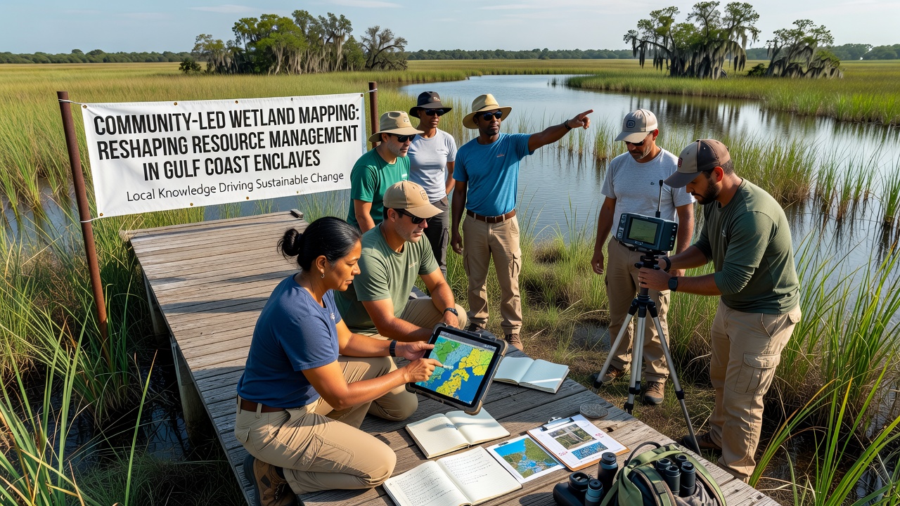
Community-led wetland mapping projects have gained traction across overlooked Gulf Coast enclaves where small populations collaborate with researchers to document marshlands, bayous, and tidal flats that traditional surveys often miss. These initiatives combine local knowledge with modern geospatial tools to produce detailed maps that influence decisions on flood protection, habitat restoration, and water allocation.
Participatory Approaches in Coastal Mapping
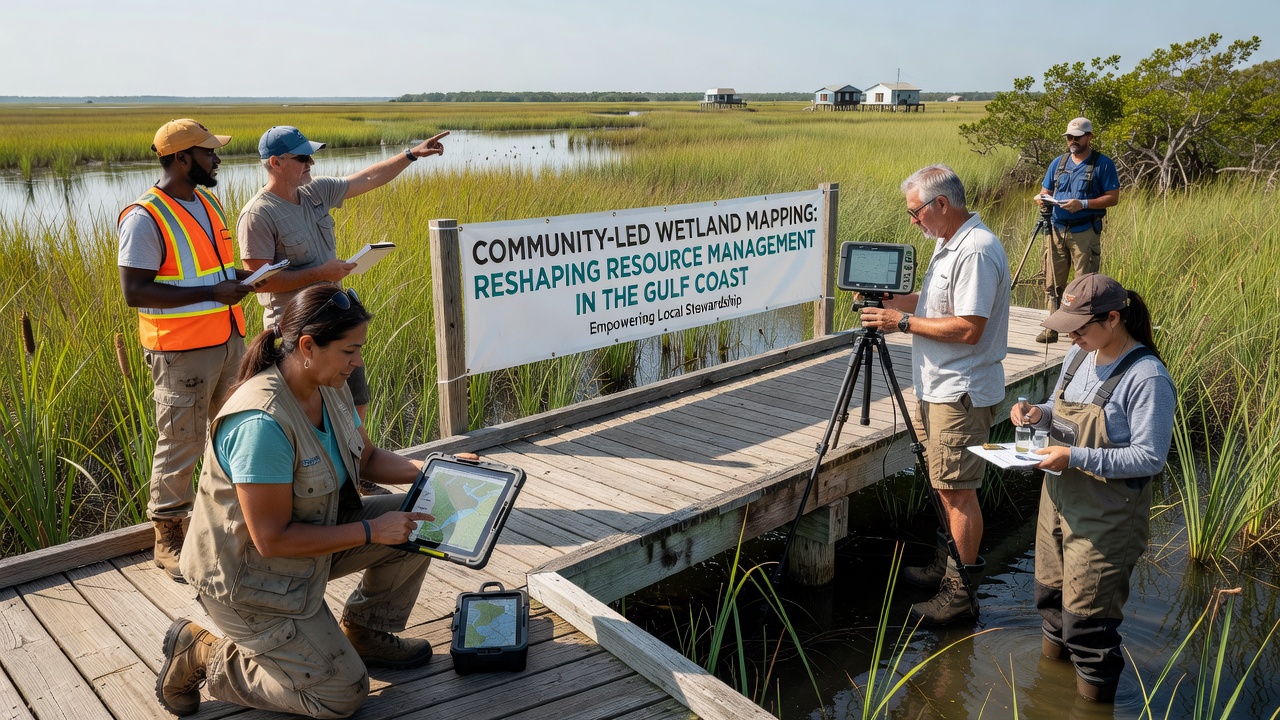
Residents in places such as the Chenier Plain communities of Louisiana and the Matagorda Bay fringes in Texas organize regular field sessions to record vegetation types, water salinity levels, and erosion patterns. Data collection relies on handheld GPS units, drone imagery, and smartphone apps that upload observations directly to shared databases. Researchers from regional universities have documented how these efforts fill gaps left by satellite-only assessments, which frequently overlook narrow tidal channels and seasonal wetlands.
Training programs run by nonprofit organizations teach volunteers to identify plant species and measure sediment accretion rates. Sessions typically occur on weekends when tides allow safe access to remote patches. The resulting datasets undergo validation against official benchmarks from the U.S. Geological Survey before integration into broader management platforms.
Technological Integration and Data Sharing
Projects employ open-source geographic information systems that let participants layer their findings onto existing topographic maps. Real-time corrections for tidal fluctuations come from nearby NOAA monitoring stations, and cloud platforms enable multiple enclaves to compare notes on similar ecological conditions. One study released in 2025 showed that community-mapped areas achieved 30 percent higher accuracy in delineating submerged aquatic vegetation than agency surveys conducted five years earlier.
September 2026 marks the scheduled release of an updated regional wetland atlas compiled entirely from these community inputs. The atlas will feed into state permitting processes for coastal infrastructure projects and will be hosted on servers maintained by the Gulf Coast Ecosystem Restoration Council. Officials expect the new maps to streamline environmental reviews that previously relied on decade-old data layers.
Effects on Resource Management Decisions
Local governments have begun citing community-generated maps when setting oyster reef restoration priorities and designating no-wake zones to protect eroding shorelines. In one enclave near the Texas-Louisiana border, revised maps prompted the reallocation of sediment dredging funds toward areas identified as critical nursery habitat for juvenile fish species. State wildlife agencies report that these targeted interventions align more closely with seasonal migration patterns observed by longtime residents.
Resource managers note that participatory mapping reduces conflicts over land-use zoning because stakeholders see their own observations reflected in official documents. Grant applications for federal coastal resilience funding now require evidence of community involvement, and several enclaves have secured additional support after presenting their datasets at public hearings.
Challenges in Sustaining Long-term Efforts
Volunteer fatigue and equipment maintenance remain ongoing concerns, yet groups have developed rotation schedules and partnerships with local schools to maintain continuity. Funding often arrives through short-term grants, so organizers seek recurring allocations from county budgets and private foundations focused on coastal science. Data privacy protocols protect sensitive locations of culturally important sites while still allowing scientific use of the information.
Conclusion
Community-led wetland mapping continues to expand across Gulf Coast enclaves as more residents gain access to training and digital tools. The integration of these local datasets into formal management frameworks has produced measurable shifts in how agencies prioritize restoration work and allocate limited resources. Ongoing projects scheduled through 2026 and beyond will determine whether these methods scale to additional coastal regions facing similar documentation gaps.