Tina Meier · 5 September 2026
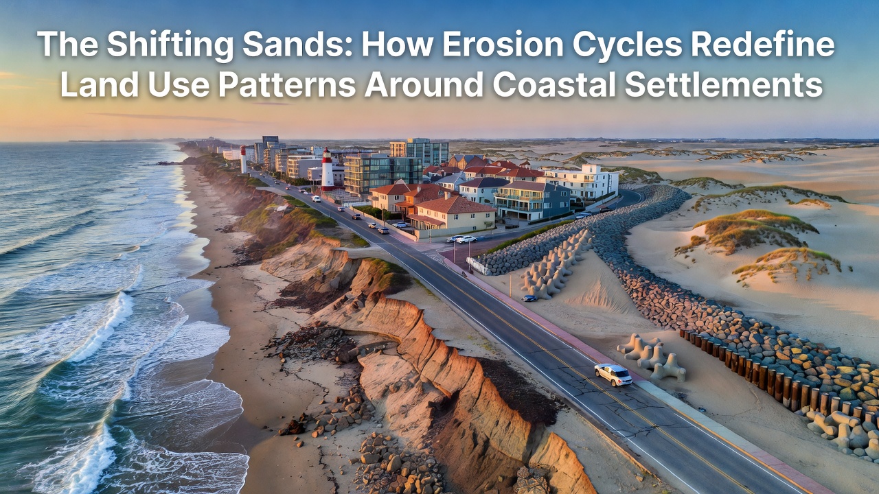
The Shifting Sands: How Erosion Cycles Redefine Land Use Patterns Around Coastal Settlements
Coastal erosion cycles operate through repeated phases of sediment removal and redeposition driven by wave energy, tidal patterns, and storm events, and these processes directly alter how communities allocate space for housing, agriculture, and infrastructure along shorelines worldwide. Researchers tracking sediment budgets along the Atlantic seaboard and Pacific margins have documented accelerated shoreline retreat rates averaging 1 to 3 meters per year in vulnerable zones, prompting local governments to revise zoning maps and redirect development away from high-risk strips. Data compiled by national agencies shows that erosion events cluster in seasonal windows, with winter storms in the Northern Hemisphere and cyclone seasons in the Southern Hemisphere delivering the bulk of annual sediment displacement.
Mechanics of Erosion Cycles and Sediment Dynamics
Each cycle begins when offshore currents strip sand from beaches during high-energy wave periods, then redistributes that material downdrift or into deeper water where recovery becomes slower. Observers monitoring sites in North Carolina and parts of Western Australia note that a single major storm can remove several years of gradual accretion in hours, leaving behind scarped dunes and narrowed intertidal zones. Geologic records preserved in core samples reveal that these oscillations have occurred for millennia, yet modern sea-level trends amplify the landward migration of the mean high-water line. Engineers at coastal research centers calculate that a 0.3-meter rise in sea level can double the frequency of overwash events on low-gradient shores, shifting the balance from stable to retreating coastlines.
Land-use planners respond by overlaying erosion hazard maps onto existing parcel data, which forces reclassification of formerly residential blocks into conservation or limited-access categories. In several California counties, building permits now require applicants to demonstrate that proposed structures can withstand projected shoreline positions 50 years forward, and this requirement has steered new construction toward inland ridges or elevated platforms. Agricultural users face parallel adjustments when saline intrusion reaches fields previously protected by wide beach buffers, leading to conversion of cropland into salt-tolerant pasture or managed wetland restoration projects.
Observed Shifts in Settlement Patterns
Communities that once expanded linearly along the water's edge now concentrate growth in clustered inland nodes connected by elevated roadways. Real-estate transaction records from the past decade indicate declining values for oceanfront lots paired with rising demand for parcels set back 200 meters or more, and this price gradient influences municipal tax bases. Infrastructure agencies have begun relocating utilities and access roads preemptively, citing repeated damage from king-tide flooding that coincides with eroded beach profiles. One study released by Geoscience Australia tracked 15 coastal townships and found that 40 percent of new commercial permits issued between 2020 and 2025 targeted sites at least 500 meters inland from the 2020 shoreline position.
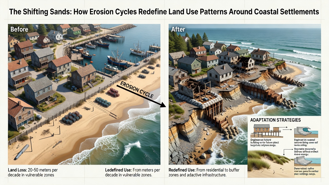
Recreational facilities illustrate another adaptation layer, because public beaches that narrow each decade lose parking capacity and require seasonal sand nourishment programs funded through visitor fees. National Oceanic and Atmospheric Administration assessments released ahead of September 2026 project that nourishment volumes needed to maintain recreational width along the U.S. East Coast will increase 25 percent by 2035 unless sediment sources are secured farther offshore. Park districts respond by acquiring easements on adjacent farmland to create linear corridors for future beach expansion, effectively converting private holdings into public buffer zones through voluntary purchase agreements.
Policy Tools and Regional Variations
Regulatory frameworks differ by jurisdiction yet converge on the principle of rolling easements that allow the public trust boundary to migrate landward without compensation claims. Canadian provinces along the Gulf of St. Lawrence have implemented similar rolling setback rules that tie minimum building distances to measured erosion rates updated every five years. European directives emphasize managed realignment schemes in which dikes are deliberately breached to create new intertidal habitat while relocating villages to higher ground, and pilot projects in the Netherlands demonstrate measurable gains in biodiversity alongside reduced flood insurance claims. Australian state governments publish annual coastal hazard reports that feed directly into local environmental planning instruments, requiring councils to designate "investigation areas" where future subdivision is suspended pending updated erosion modeling.
Financing mechanisms include dedicated coastal resilience bonds issued by regional authorities, with repayment streams tied to increased property tax yields from redeveloped inland zones. Insurance markets adjust premiums according to updated flood and erosion overlays, and this pricing signal further discourages new construction in retreating shoreline segments. Observers tracking permitting data across multiple continents report a consistent pattern: applications for hard armoring structures such as seawalls decline once setback policies and buyout programs gain traction, because property owners recognize that static defenses accelerate downdrift erosion without halting overall shoreline migration.
Conclusion
Erosion cycles continue to reshape the spatial footprint of coastal settlements through measurable sediment losses and policy responses that favor inland concentration of development. Government datasets and academic monitoring programs supply the quantitative basis for these adjustments, and ongoing updates scheduled for release around September 2026 will refine erosion projections used in zoning revisions. The resulting land-use patterns reflect iterative recalibration rather than permanent stabilization, as communities balance immediate economic uses against the physical reality of shifting shorelines.